How the Inuit mapped their lives and reclaimed their land

Hugh Brody, Honorary Associate at the Scott Polar Research Institute at the University of Cambridge, explains how mapping helps indigenous groups.
Hugh Brody

Anthropologist and Honorary Associate of the Scott Polar Research Institute

30 Jan 2022
Hugh Brody
Key Points
  • Canadian Prime Minister Pierre Elliott Trudeau’s natural sense of justice led him to oppose the idea of special status for indigenous peoples, before he did a dramatic U-turn and gave those affected a chance to defend their ideas.
  • One challenge for indigenous peoples in proving their claims to the land was the lack of physical ties to their past; so they turned to mapping.
  • Mapping, and later film became two tools that indigenous peoples were able to use to communicate with a larger audience, dispel stereotypes and establish themselves.


Special status or not?

I'd like to take us back to 1969, Canada in 1969. A new and very inspiring charismatic Prime Minister, Pierre Elliott Trudeau, proposed a whole new set of legislation relating to the indigenous peoples of Canada. Trudeau argued that it was nonsensical and anachronistic for one part of a nation to have treaties with another part of a nation. The rights and separate status of the indigenous peoples of Canada or many indigenous peoples of Canada were inscribed in these treaties, these agreements between the government and the people going back to the early colonisation of Canada. And Trudeau said, this is ridiculous. We have to get rid of all this idea of special status. There must be no such thing. And everybody has to be part of one society, a fundamentally homogenised Canada, a single nation.

Photo by Art Babych

This came from a man who was fundamentally liberal and progressive, but who had an idea of natural justice. He saw it as a kind of natural injustice that the indigenous peoples be separated in Canada. He published a white paper setting out this proposed legislation, and the response to this white paper was extremely dramatic. All across the country, there were protests, angry denunciations of the government, a sense of profound outrage. And it looked as though, far from unifying Canada, this piece of legislation threatened to split it into multiple pieces.

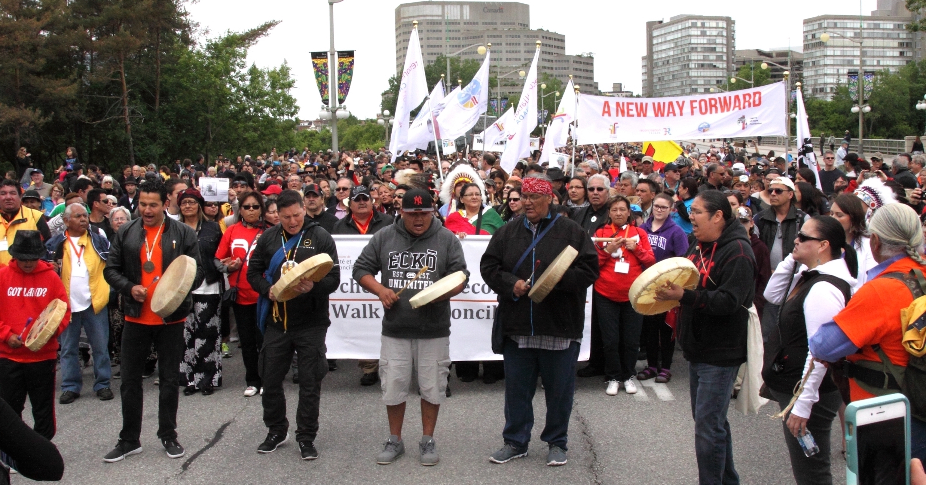
At the same time, Trudeau is having to deal with a separatist movement in Quebec, which threatened to split his country. And Trudeau, unlike most politicians – and it’s an example of what a remarkable leader he was – made a dramatic U-turn in 1973. He said, all right, maybe I've got it wrong. If you want to show why you should have separate status, then show us. Prepare a document to demonstrate what your relationship is to your lands, what your claims are to your resources, so we will know and we will be able to adjudicate what these mean. We'll have to find out what this Aboriginal title might be called. We'll have to find out what separation could mean for indigenous peoples and how that would be understood.
A metaphysical claim to the land

For many, if not most indigenous people, it's very difficult to demonstrate their world to the outsider; their relationship to the land is carried in stories. Their entitlement to their resources is embedded in accounts they give of mythic and actual time. They don't have monuments built on the land. There aren't cathedrals that celebrate their past. There aren’t documents that constitute title deeds. There's nothing that they can point to or very little they can point to or bring forward, which would show that this piece of land is theirs or these fish are theirs by right.

They only have what is in their heads, or above all they have what is in their minds and in their stories. And this is partly because many such societies don't, in fact, construct records of themselves, and it's partly because the prejudices against them, the evolutionist ideas about them, the notion that they are somehow not really highly evolved, that they aren't fully human means that we, even if they did point to what revealed their entitlement to their land, there would be a tendency to disbelieve it or disregard it or see it as evidence of the primitive and the savage.

So they're caught by the nature of their cultures and the nature of colonial history. The Inuit came up with the solution to this problem, the solution to their invisibility, and it was mapping. They said that what we must do is map everything on our land.

Mapping worlds

Photo by Tudoran Andrei

I was given the job of working with the team of Inuit elders in the areas where I had lived and where I spoke the languages, of making maps for every person, a map biography for every single person. The idea was that each person would have a set of maps that they could pin up on the wall and say, that is my world.

We went through every part of their lives, everything they’d ever hunted for. We made lists of every species of animal they could have harvested, every kind of plant and bird, and asked about each one of them. For each one of them, they mapped onto a topographical sheet, where they had been to find these resources. Then they talked about the resources, and we recorded stories about how they use these resources and what they meant to them. Afterwards, they made maps to show their understanding of how their ecology worked. What was the relationship between cracks in the ice and movements of seals, whales and walruses? What was the way to the polar bears’ den? What were the migration routes of the caribou? When did the birds arrive? Where did they nest? They made maps to show their understanding of the entire environment. I remember I did the names of all the places they could name along a 150-mile stretch of inlet and fjord and found over 200 place names being recorded for that stretch.

Everywhere on this land they could show on paper. That it was theirs and in what way it was theirs. This set of maps, this massive set of maps, became the basis for a land claim. And this idea that you can do what came to be called cultural mapping spread around the world. So indigenous people in every corner of the world have used mapping to make their way of life, their understanding of the world, explicit and visible and undeniable.

A new way to communicate

The mapping was only one such tool; it was an incredibly powerful tool and had remarkable consequences. At about the same time, in the mid 1970s, documentary film had evolved very dramatically. There were now at that point in the 1970s, there were cameras, 60 millimetre cameras that were very robust. There were sound systems that allowed you to record sync sound. And documentary crews, a small documentary crew could go into the remotest part of the world, put up a camera and record what people had to say and show who they were.

In that period, many such films were made and came and began to appear all over the medium, prime time television, The Disappearing World series, created by Granada Television. That’s the most remarkable example, which ended up with some 62 or 63 films, one-hour films, each one made about an indigenous community and all of them broadcast on prime time TV. In all of them, the people themselves are in front of the camera telling their stories, explaining themselves. In many of them, they spoke in their own languages and it was subtitled.

So, suddenly the camera allowed a way of communicating who indigenous people were that broke open and broke apart many of the most resistant stereotypes.

Acts of resistance

Photo by RUBEN M RAMOS

The early mapping projects I worked on were inseparably linked to what came to be called land claims. The people were making their maps and later telling stories on film, in order to establish that they were the rightful owners and occupiers of their lands. These were acts of self-expression and also of resistance, and they did lead in the case of the Canadian work, to the winning of a good deal of what they were asking for.

At the same time, the making of maps and the making of these kinds of films, met what I identified earlier as the central problem for anthropology: what is the method of research going to be that allows people to reveal who they are and what is the method of communication going to be that allows me, the anthropologist, me, the social researcher, to bring what they are saying to the world in a form that the world, especially the powerful in the world, can understand?

Political and politicised

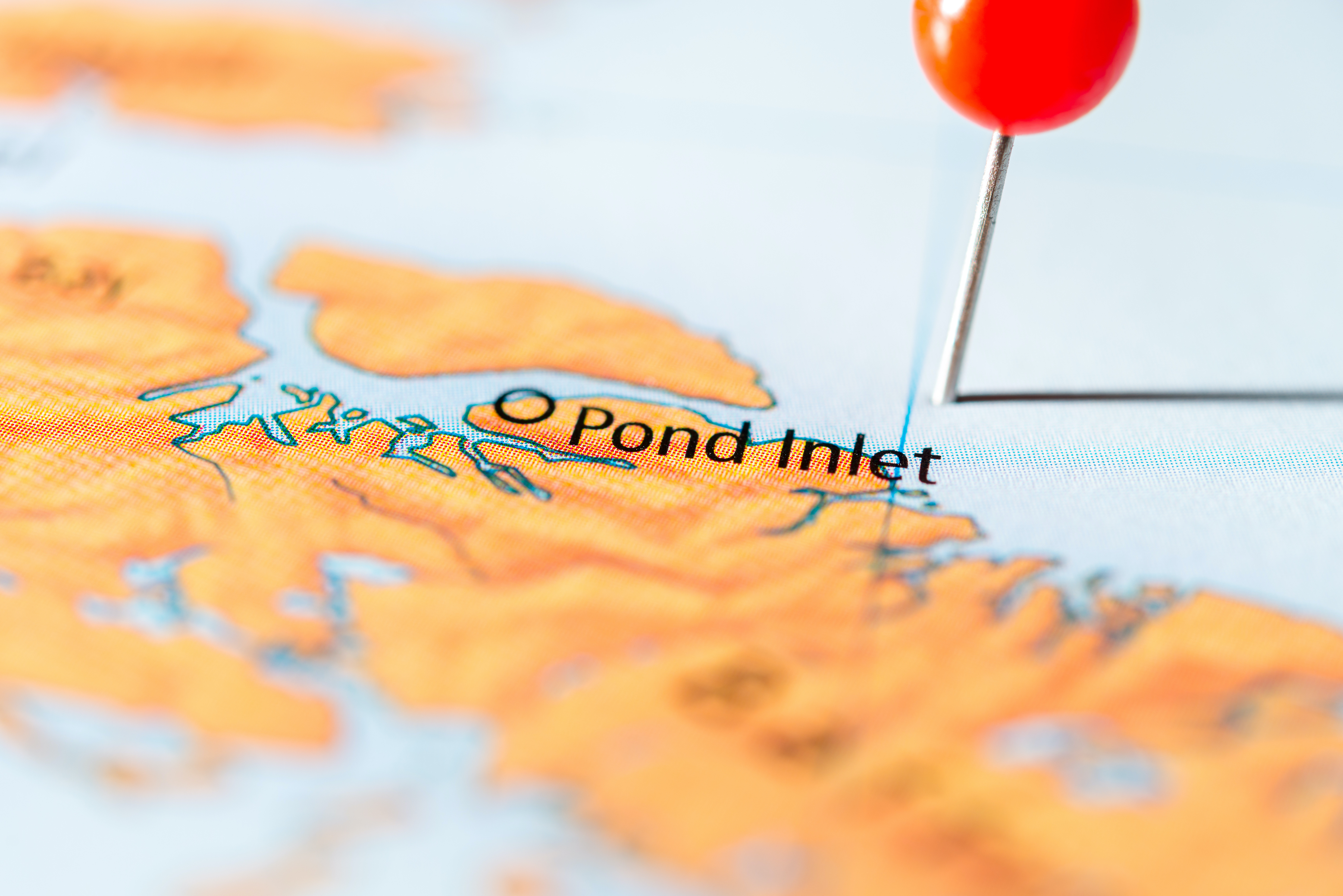
It was very striking when we first started working in Pond Inlet, that people said they would agree to this film project. Granada Television came to me and said, would they make this film? I went to the community and said, do you want this film? And they set up some conditions.

One of their conditions was that the film should be seen by the government. Another condition was that they should be the first people in the world to see the film, even before the government. The third condition was that they should have a say in the edit.

So these are sophisticated political and politicised responses to a film project proposal. But once the project got going and when any such project gets going, if one’s using open-ended mapping in the methodology and open-ended filming as a tool, you start to find people presenting their worldview in full and extremely compelling ways. Although the projects may have been tightly linked to land claims, they also became projects within which ways of being in the world could reveal themselves, make themselves understandable, and establish the complexity and richness of who they are.

Discover more about

Indigenous peoples

Brody, H. (1981). Maps and Dreams: Indians and the British Columbia Frontier. SERBIULA.

Brody, H. (1976). Colonialism in the Arctic — four reminiscences. History Workshop Journal, 1(1), 245–253.

0:00 / 0:00